ERSE Ecological Research and Services for the Environment is a Tuscany Company of experts in Environmental Biology and Natural Sciences. ERSE works throughout the national territory.

Marine-coastal analysis

Marine-coastal analysis through macrobenthos analysis

Marine-coastal waters represent the maritime zone located within one nautical mile from the coast or within the baseline, which serves as a reference to define the limit of territorial waters.


In this context, the Water Framework Directive 2000/60/EC (WFD), transposed in Italy by Legislative Decree 152/2006 and its subsequent amendments, establishes a framework for community action on water, aimed at protecting and improving the status of water and ensuring its sustainable use.


The WFD approach is innovative because it considers aquatic ecosystems as a whole, together with terrestrial ecosystems and wetlands closely connected to aquatic areas, for the purpose of protecting and improving the status of water. Primary importance is given to the animal and plant organisms that characterize ecosystems and, when present in well-structured and balanced communities, are themselves responsible for the complex self-purification processes of water. In fact, among the objectives identified by the Directive, the ecological quality objective is understood as the ability of a water body to support animal and plant communities capable of sustaining the self-purification phenomena of the aquatic environment. Additionally, the concept of biomonitoring is introduced, through which the study of effects on living organisms and biological parameters allows for the evaluation, in relatively short times, of various pollution phenomena present and/or past, caused by the introduction of one or more pollutants into the environment or by abnormal alterations of physicochemical parameters such as temperature, pH, salinity, etc.

The Biological Quality Elements (BQEs) monitored for marine-coastal waters are phytoplankton and benthic macroinvertebrates. Therefore, ERSE conducts the following analyses across the entire national territory.

analisi marina

Analysis of benthic communities (m-ambi)

The M-AMBI index is used to define the health’ status of the water body through the analysis of macrobenthos. Benthic communities are successfully used as indicators of stress or pollution, as their species composition and inter-specific relationships reflect environmental conditions. They are also relatively static and act as a sort of biological memory as they are subject to all natural or anthropogenic changes occurring in the area where they live. For the evaluation of the index, the benthic community of each station is analysed by calculating the structural or community parameters (number of species, specific wealth, abundance, diversity and evenness), in order to describe the population qualitatively and quantitatively. The calculation of the index makes it possible to assess the status of the water body as required by European legislation.

CARLIT Coastal Cartographic Method

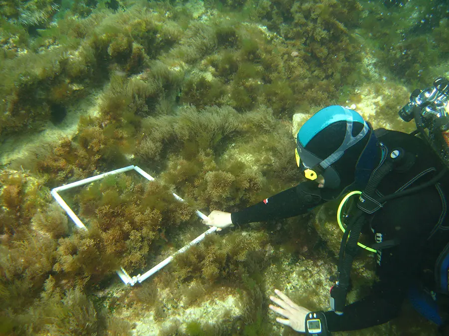
The CARLIT method (CARtography of LITtoral and upper-sublittoral benthic communities) maps the composition and linear development of algal communities of microtidal environment on maps of suitable scale, in order to infer the magnitude of the human pressure, to which the superficial communities of rocky substratum dominated by macroalgae respond relatively quickly. It is a useful tool for a preliminary investigation on long coastal stretches, which at the same time guarantees sensitivity, ease of application and reduced analytical costs. Due to its simplicity of application and low impact on the community (non-destructive), the method is suitable for application in protected natural areas of conservation interest; the type of results produced is in accordance with Directive 2000/60/EC.

AnalisiacquaMarina

Marine-coastal analyses